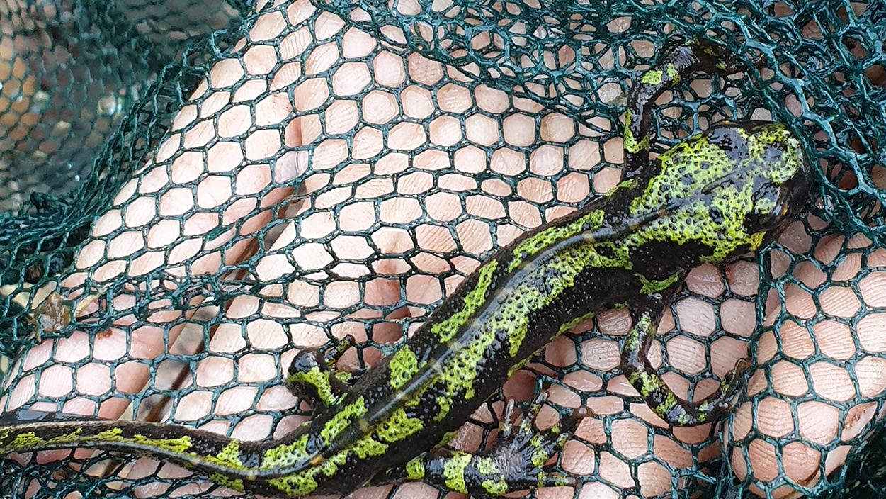
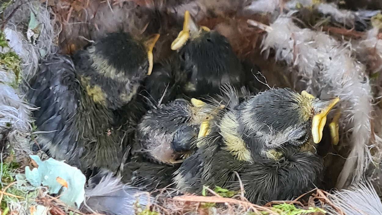
The identification of new habitats and species in Navigator forests has been increasing steadily year on year, thanks to the implementation of the Annual Monitoring Programme. Find out how we carry out this work, which has already identified more than 240 species of fauna and 800 species and subspecies of flora, as well as multiple priority habitats for conservation.
Since it is impossible to survey the whole area in search of the animals and plants that exist there, the identification of habitats and species in Navigator forests is done by sampling, a technique used in most studies and surveys on biodiversity and endangered species, such as Red Lists or Red Books.
Across the approximately 105 thousand hectares of forest owned by the company in Portugal, the first stage of the Monitoring Programme begins with the definition of the sampling areas, i.e. the areas that have the greatest potential in terms of natural values and are therefore a priority for annual sampling.
In order to select these areas, an assessment is made of their natural values based on land cover maps. Areas of natural vegetation are eligible in the first instance and greater priority is given to Navigator’s forest areas that are part of the Portuguese National System of Classified Areas (such as those of the Natura 2000 Network, for example), along with other areas where protected habitats, threatened wildlife species, and rare, endemic, localised, threatened, or endangered flora species have been identified (or potentially exist).
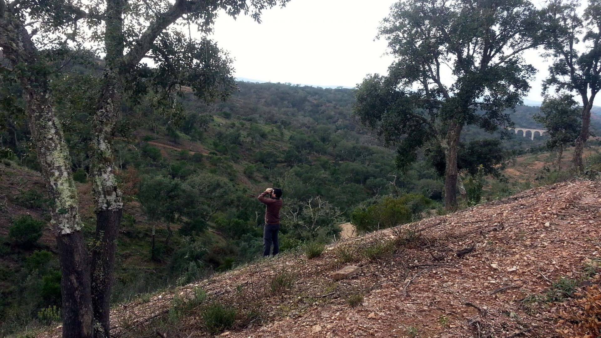
The next step is to evaluate the sampling areas, including the identification of the natural values present therein. The fieldwork is carried out by external partners, namely teams of researchers or specialised companies, using the Rapid Biodiversity Assessment (RBA) method, an approach recognised by the Conventions on Biological Diversity (CBD) of the United Nations and RAMSAR for generating reliable and useful results for ecological conservation over vast areas and in a relatively short period of time.


